Remote Ops, Off-Roading & Camping
Take the radio beyond the pavement.
One trip. Several hobbies.
Remote radio, Parks on the Air, off-roading and camping all meet in the same place: outside the home shack. This page follows the equipment, trails, camps, radio contacts and lessons that turn the DX Explorer Jeep into a mobile base for Colorado and Wyoming adventures.
Quieter radio. Bigger scenery.
Populated areas are full of electrical noise that can bury weak signals. Away from town, the radio noise floor often drops dramatically. Stations that disappear at home can come alive from a mountain campsite—and the drive, setup and surroundings are part of the experience.
Build a field operation
Get there
The Jeep carries people, recovery gear, radios, antennas and camp equipment into locations a normal vehicle may not reach.
Set up
A field station combines a radio, suitable antenna, clean power, feed line, shelter and a plan for changing weather.
Get on the air
Listen first, choose a clear frequency and make contacts—or use a park activation to give the trip a radio objective.
Meet the DX Explorer
DX Explorer is a 2015 Jeep Wrangler JK Unlimited Rubicon, heavily modified to support trails, camping and portable radio. The name works two ways: the Jeep reaches distant places, and in amateur radio DX means a distant station or another continent.
The vehicle became part of a larger reset in 2017—a way to reach beautiful places that were not easily accessible and build new experiences around exploration.
The build
- 2.5-inch lift
- 35-inch Falken Wildpeak tires
- Fox shocks
- Smittybilt bumpers
- Winch and light kit
- Rhino Pioneer rack
- Adams drive shafts
- Regeared to 5.56
- Big brake kit
- Onboard refrigerator
- Radio hotspot
- Additional trail and camp equipment


Parks on the Air
Parks on the Air (POTA) is a worldwide amateur-radio activity that combines portable operating with visits to qualifying parks and public lands. An activator takes a station into a listed park and makes contacts; hunters contact that operator from home, another park or anywhere their station can reach.
The modern program began in early 2017 after the ARRL’s popular 2016 National Parks on the Air event ended. Volunteers kept the idea alive and turned it into a year-round international program. By late 2024, POTA’s official documentation reported more than 60,000 participating parks worldwide—an enormous expansion from its original group of operators.
POTA fits naturally with off-roading and camping because a trailhead, wildlife area, scenic overlook or campsite can become both a destination and a radio operating position. It gives each trip a clear objective while providing a practical way to test antennas, batteries, radios and operating methods away from the electrical noise of town.
Why POTA grew so quickly
The activity is easy to understand, works with modest equipment and gives operators a reason to get outdoors. Online spotting helps hunters find active parks, uploaded logs create automatic credit and awards, and today’s compact radios and lithium batteries make capable portable stations easier to carry. Voice, CW and digital operators can all participate.
How a POTA contact works
1. Choose a park
The activator selects a qualifying park reference, confirms the boundaries and finds a safe, legal operating location inside them.
2. Get on the air
The operator sets up, chooses a clear frequency and may post a spot online. Hunters tune in and exchange callsigns and signal reports.
3. Upload the log
Afterward, the activator uploads the contact log. POTA processes the activity, updates statistics and applies progress toward awards.
Activator
The person operating from the park. Activating teaches practical field skills: compact antennas, battery management, fast setup, logging, weather awareness and adapting when conditions change.
Hunter
The person contacting the park station. Hunting is the easiest way to begin: listen for spotted activators, make the contact and learn how propagation changes by band, distance and time of day.
Off-grid Meshtastic in the field
Communication and location sharing beyond the network
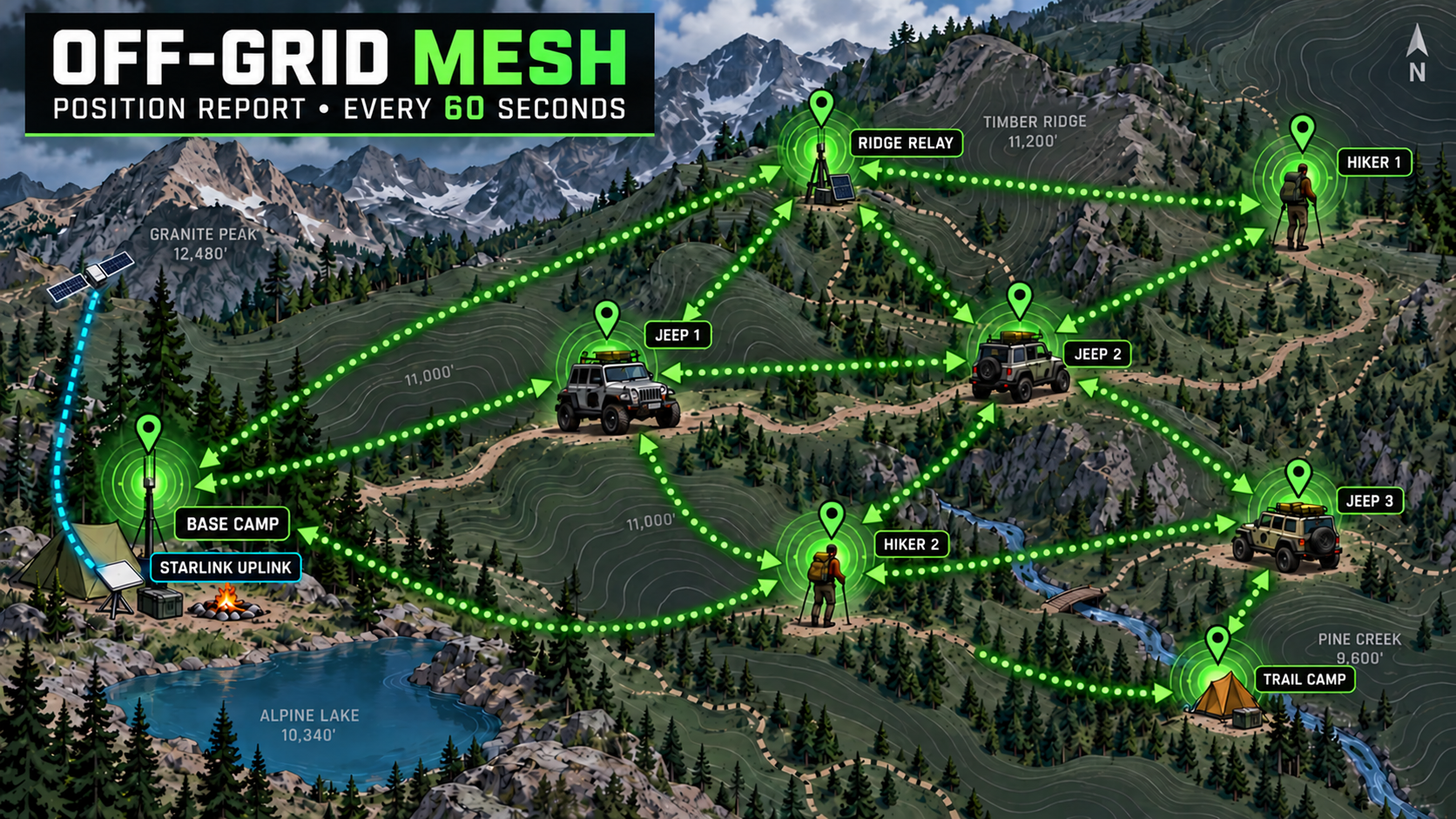
Meshtastic uses low-power LoRa radios to form a peer-to-peer mesh. Nearby nodes can relay short text messages, position reports and basic telemetry from one radio to the next. A local mesh can continue operating without cellular coverage, Wi-Fi or an Internet connection, making it especially interesting for trails, camps and remote operating sites.
Trail coordination
Vehicles or hikers can exchange short messages when the group spreads out and ordinary phone service disappears.
Location reporting
GPS-equipped nodes can share positions across the mesh, helping a group see where participating stations are located.
Camp and radio support
Portable nodes can link a campsite, vehicle and operating position and may also carry useful telemetry or sensor information.
Why we are building a separate off-grid mesh
Meshtastic was not designed to be just another urban network that depends on existing infrastructure. Its core strength is the ability to operate completely off-grid. The field network I am testing is intentionally separate from the mainstream public mesh. Participating radios are configured to work together as a self-contained group for overlanders, hikers, explorers and portable radio operators.
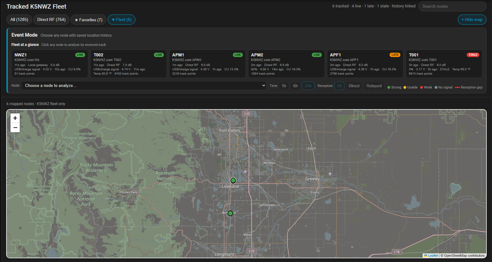
We are taking advantage of the mesh itself: each properly configured node can relay packets for other nodes. That lets position reports move around terrain or across a spread-out group even when a station cannot reach the base node directly. GPS-equipped nodes send frequent, accurate locations that are plotted on a map, giving the group a practical view of where participating vehicles, hikers and equipment are located as the trip unfolds.
The system does not require the Internet, cellular service or Starlink to function. A Starlink or cellular connection at base camp can provide an optional bridge to the outside world, but the local radios continue exchanging messages and positions independently when that connection is unavailable.
Position history also creates a breadcrumb trail. If a vehicle, hiker or portable node stops reporting, the map preserves its last received route and position. That history can help the group determine where to begin looking for the missing node instead of relying only on its final point.
What I am testing now
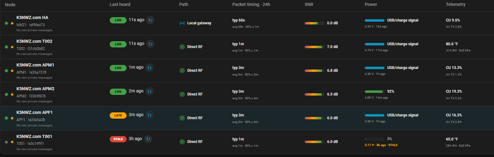
I am testing node placement, antennas, power, range, message reliability, reporting intervals, map tracking and how well packets relay between moving and stationary nodes around Northern Colorado. The goal is to learn what works before using the system for off-road trips, camping and portable-radio outings.
What affects the mesh?
Range is not guaranteed. Terrain, antenna height, trees, buildings, radio settings, node roles, placement and battery condition all matter. A well-placed relay can help traffic cross an obstruction, while a low node in a canyon may reach only nearby users.
The map is an awareness tool, not an emergency guarantee. Packets can be delayed or missed, so remote trips still require sound navigation, emergency equipment and a backup communications plan.
What goes into the Jeep?
Radio and power
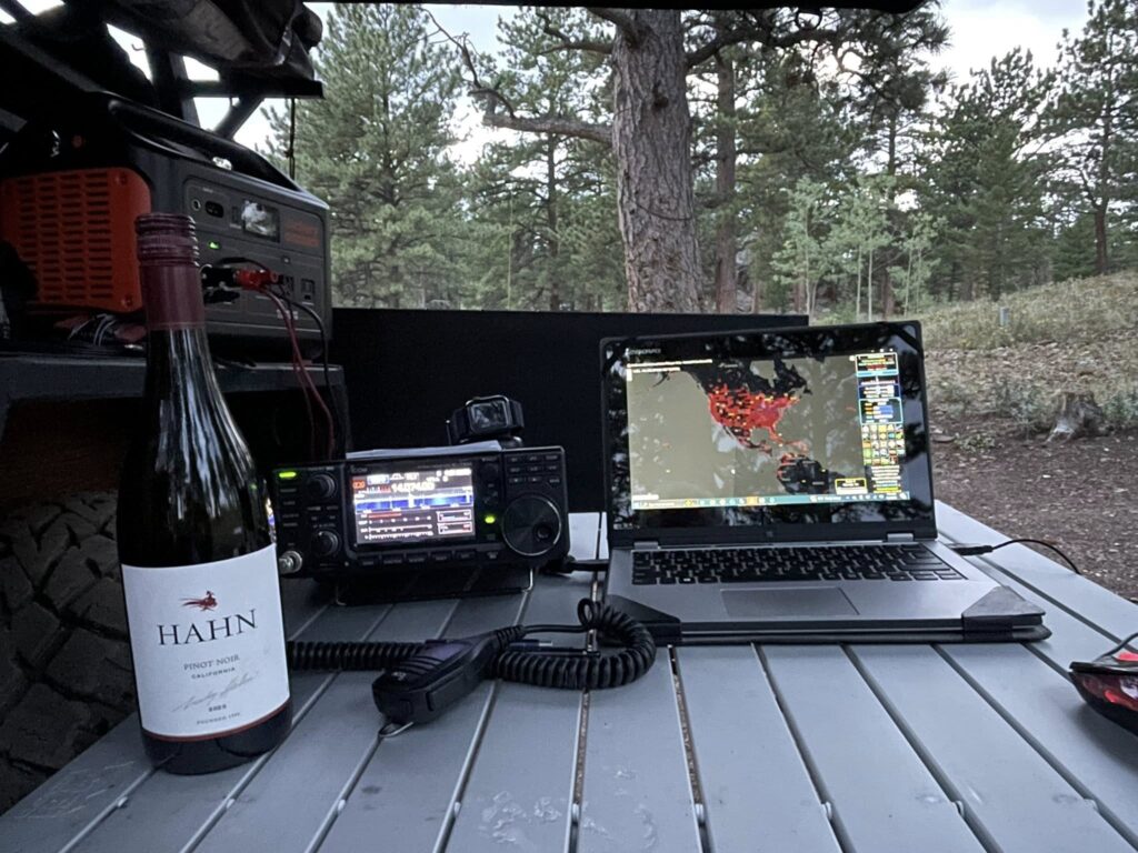
Transceiver, microphone or computer interface, charged batteries, power leads, fuses, feed line and a way to monitor voltage.
Antenna system
Antenna, mast or support, guy lines, stakes, adapters, spare coax and enough room to keep people clear of the radiating elements.
Trail and recovery
Navigation, first aid, water, warm clothing, recovery points, winch gear, tire equipment and a conservative plan for terrain and weather.
Camp and comfort
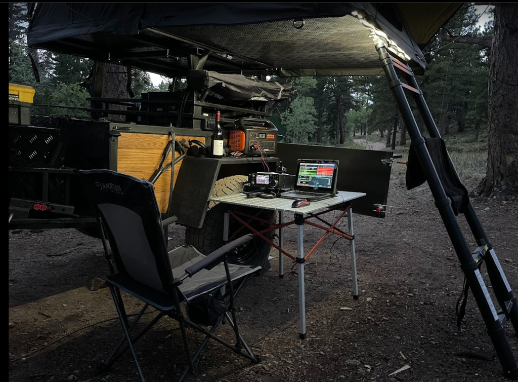
Shelter, chair, table, lighting, food storage and an operating position that protects the radio and operator from wind, dust and rain.
Trips, photos and outdoor notes
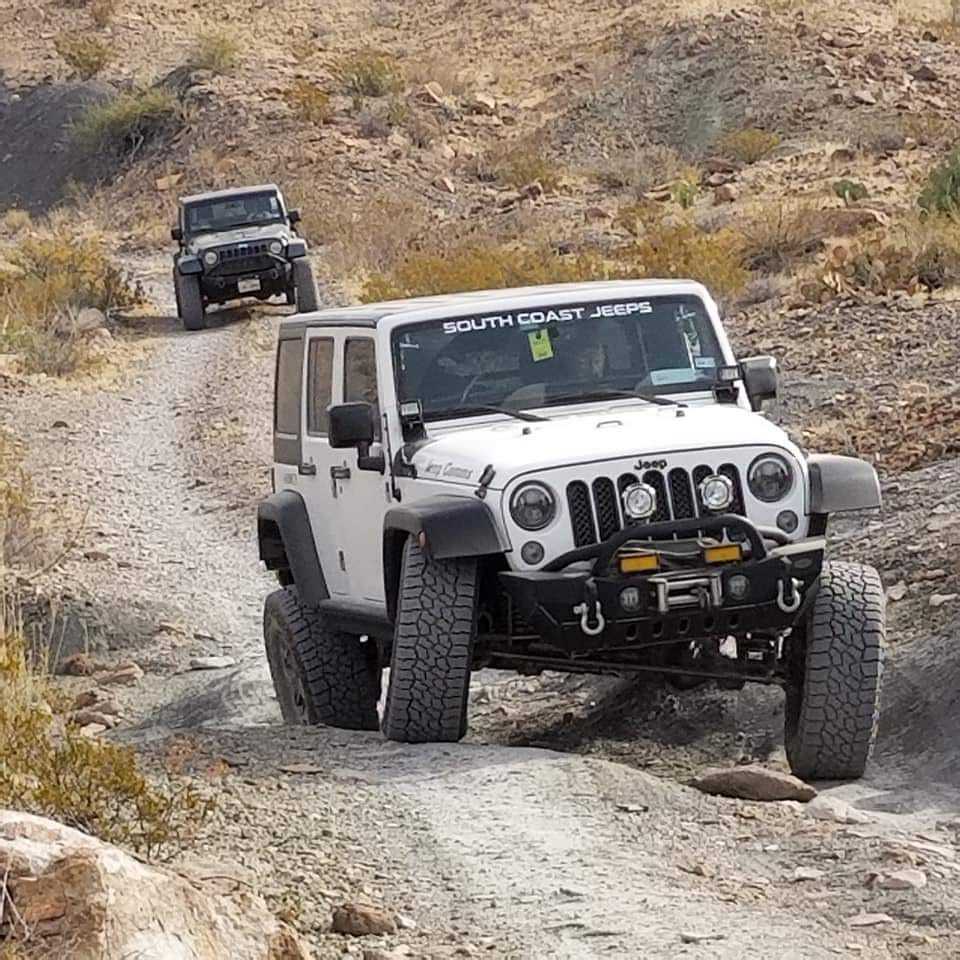
Camping trips with my father started a lifelong love of the outdoors. Northern Colorado puts the mountains of Colorado and Wyoming within reach, and the Jeep gives me another way to explore them. Local day trips are often shared through the NOCO Offroad Hams Facebook page.
Click any gallery photo to enlarge it.
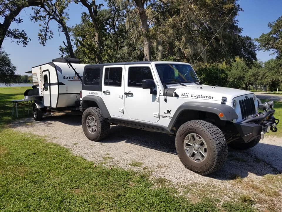
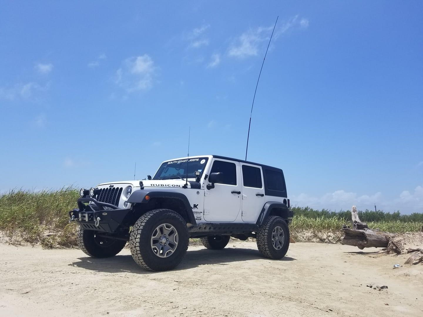
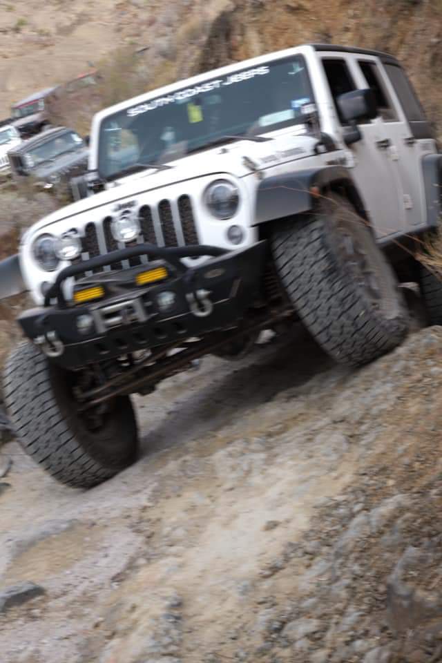
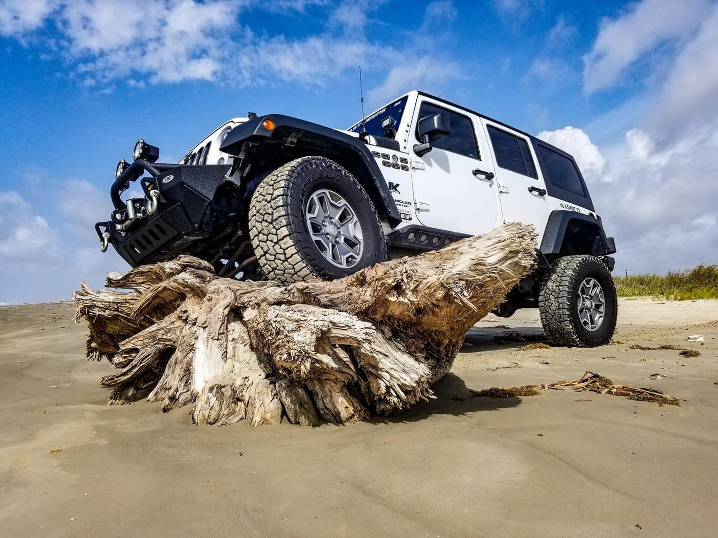
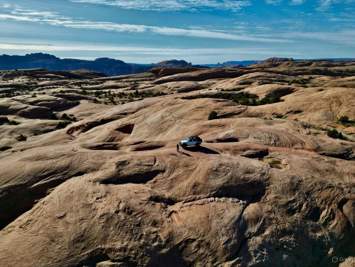
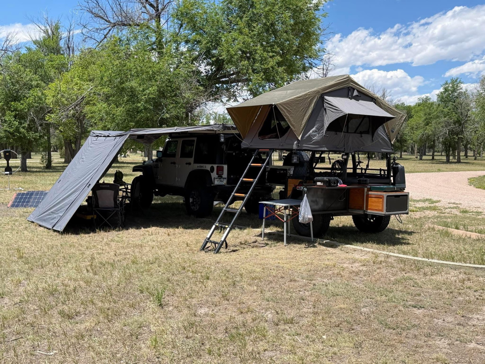
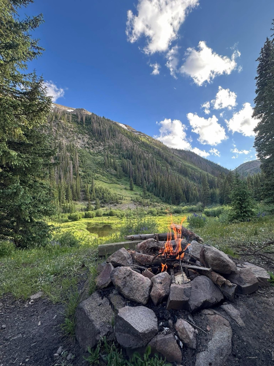
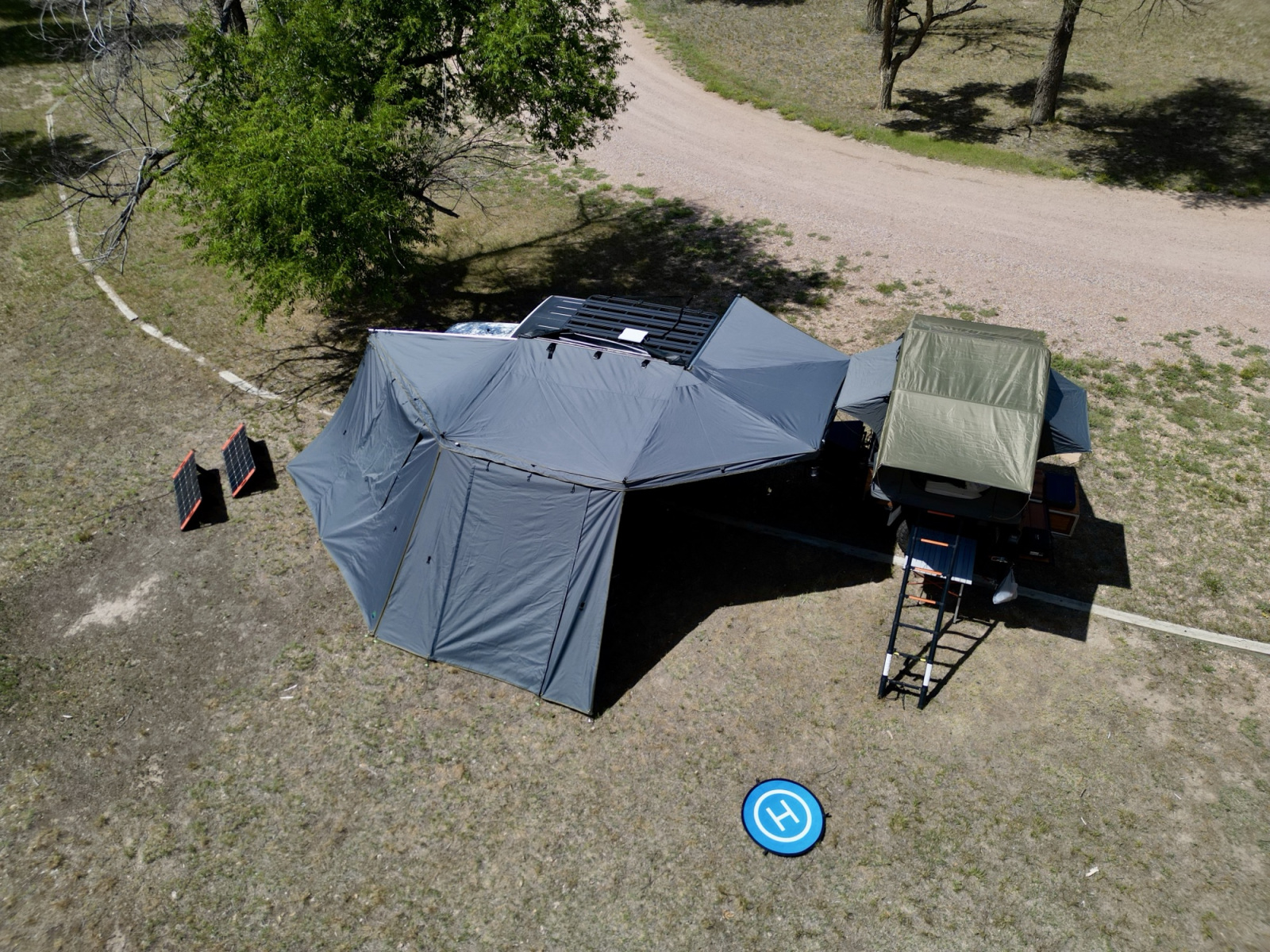
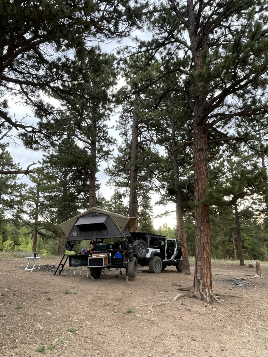
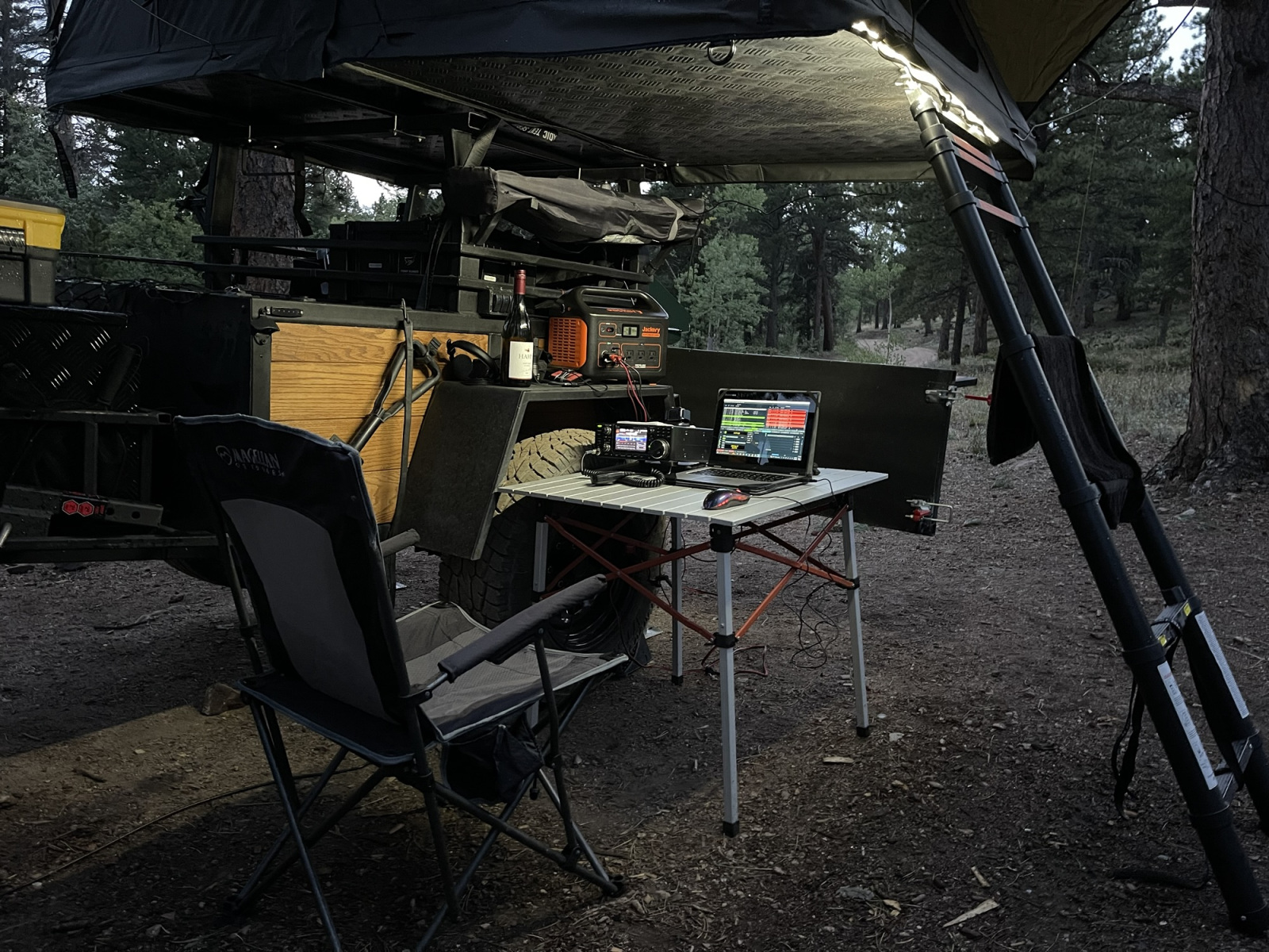
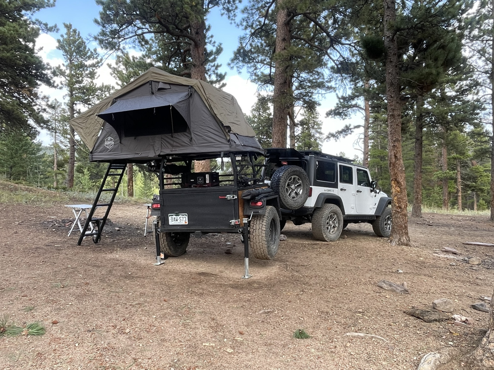
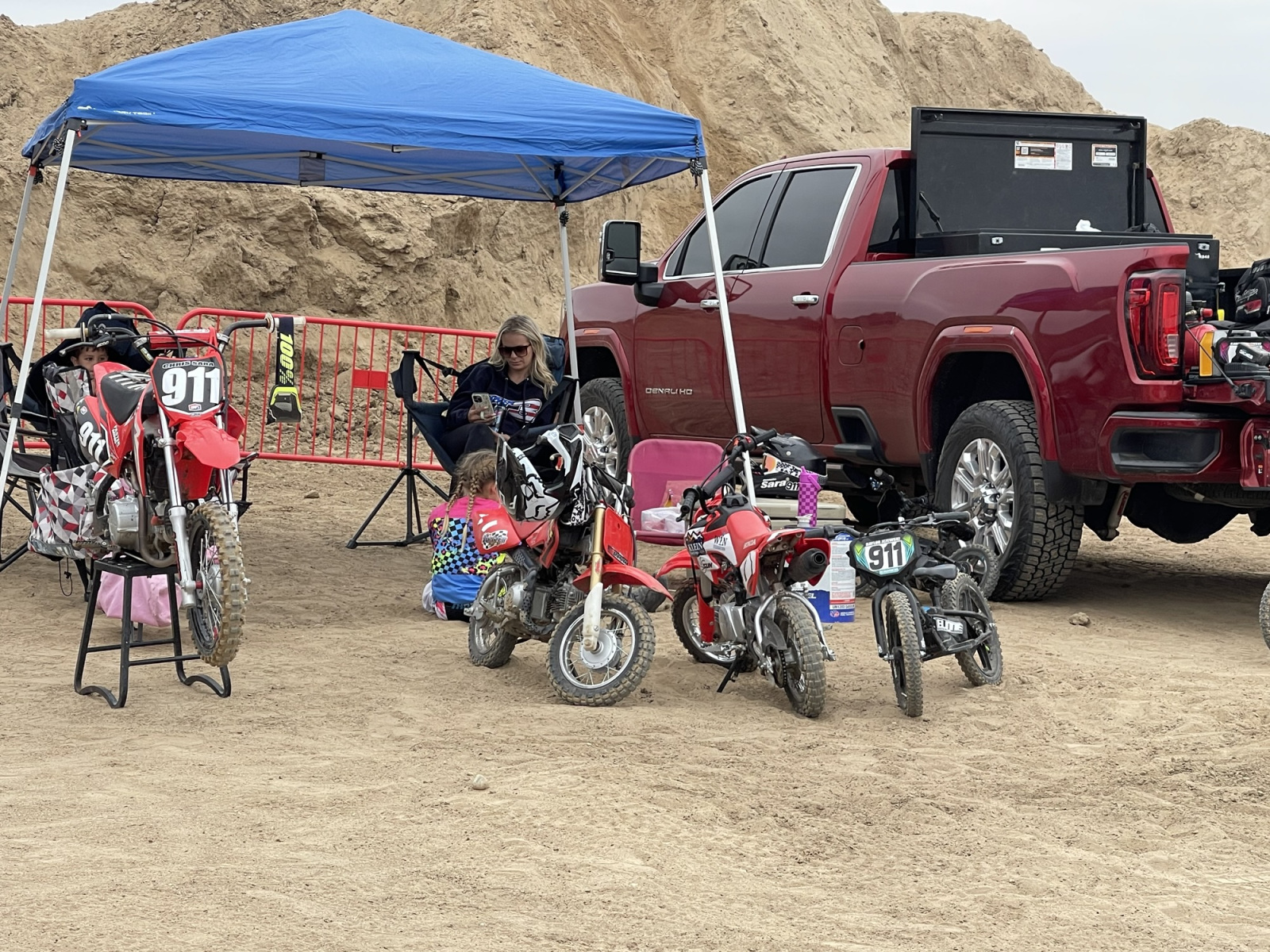
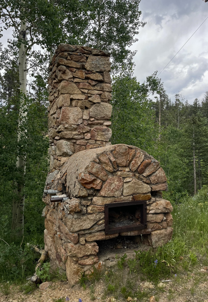
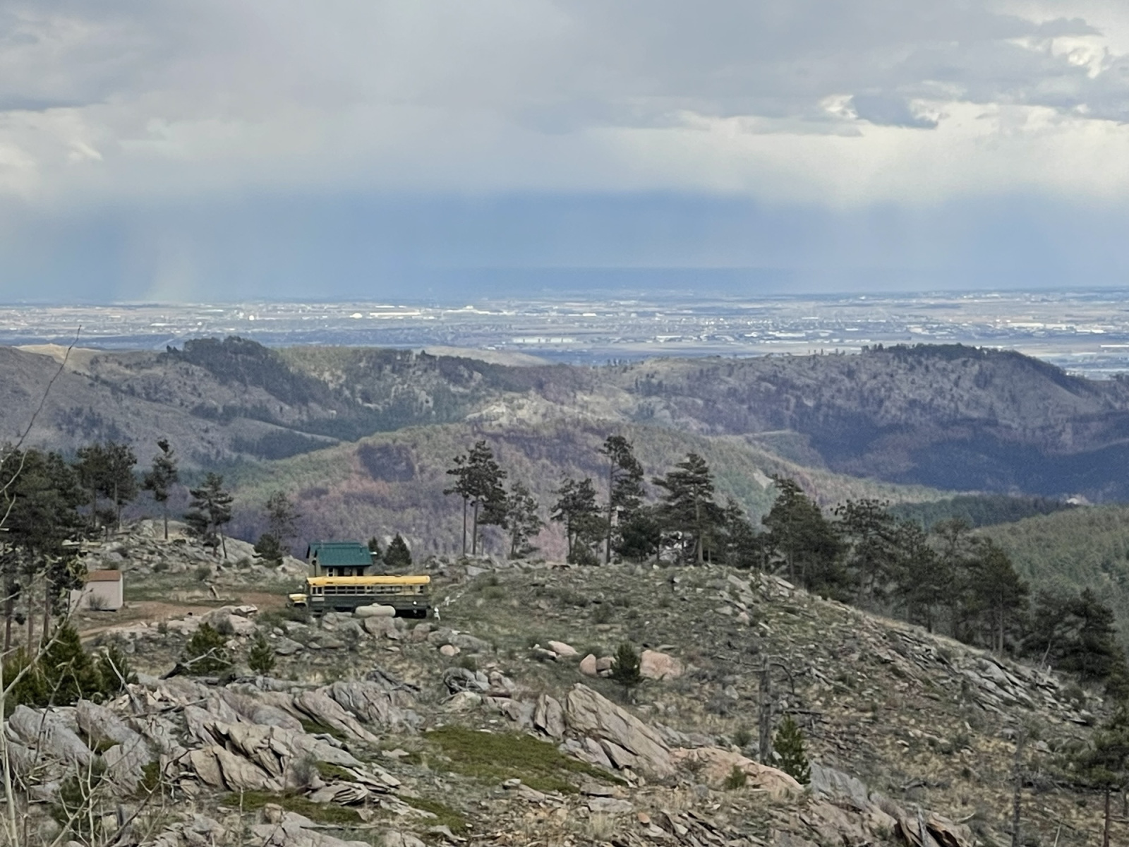
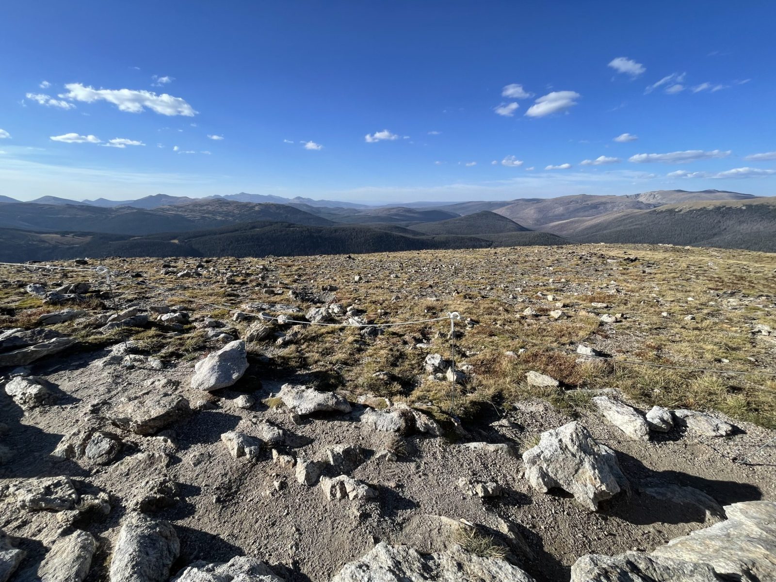
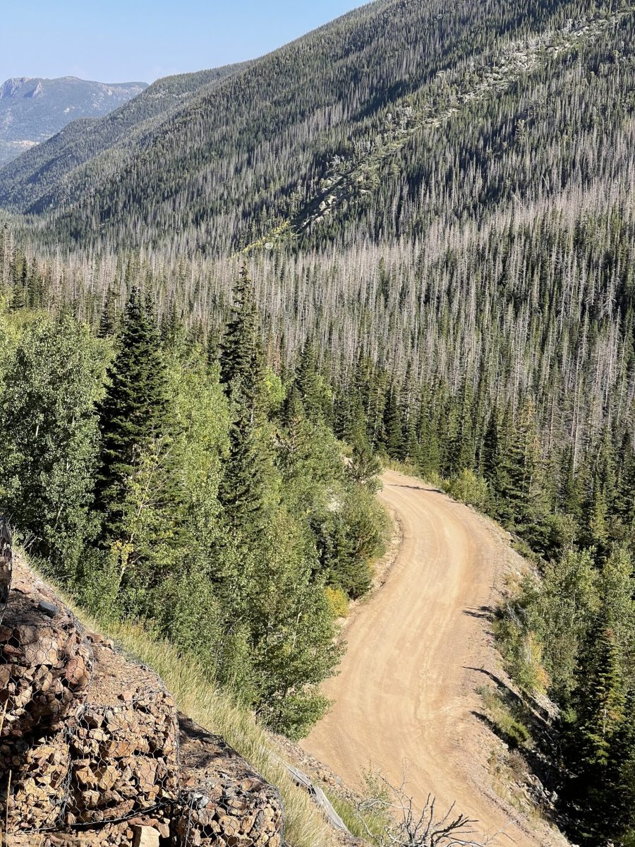
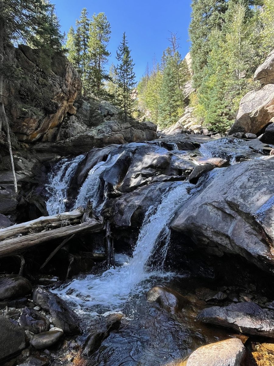
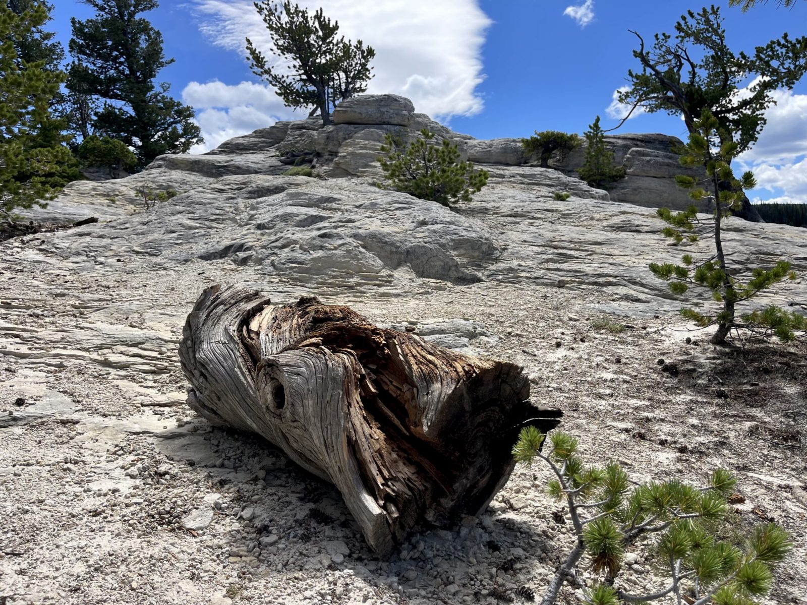
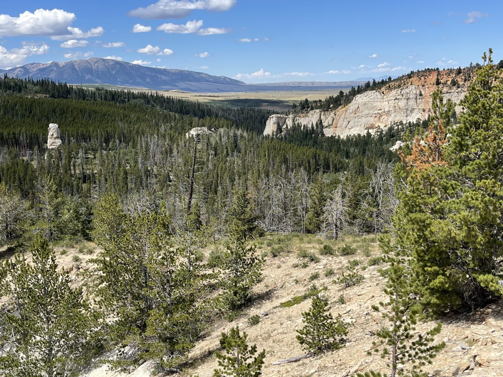
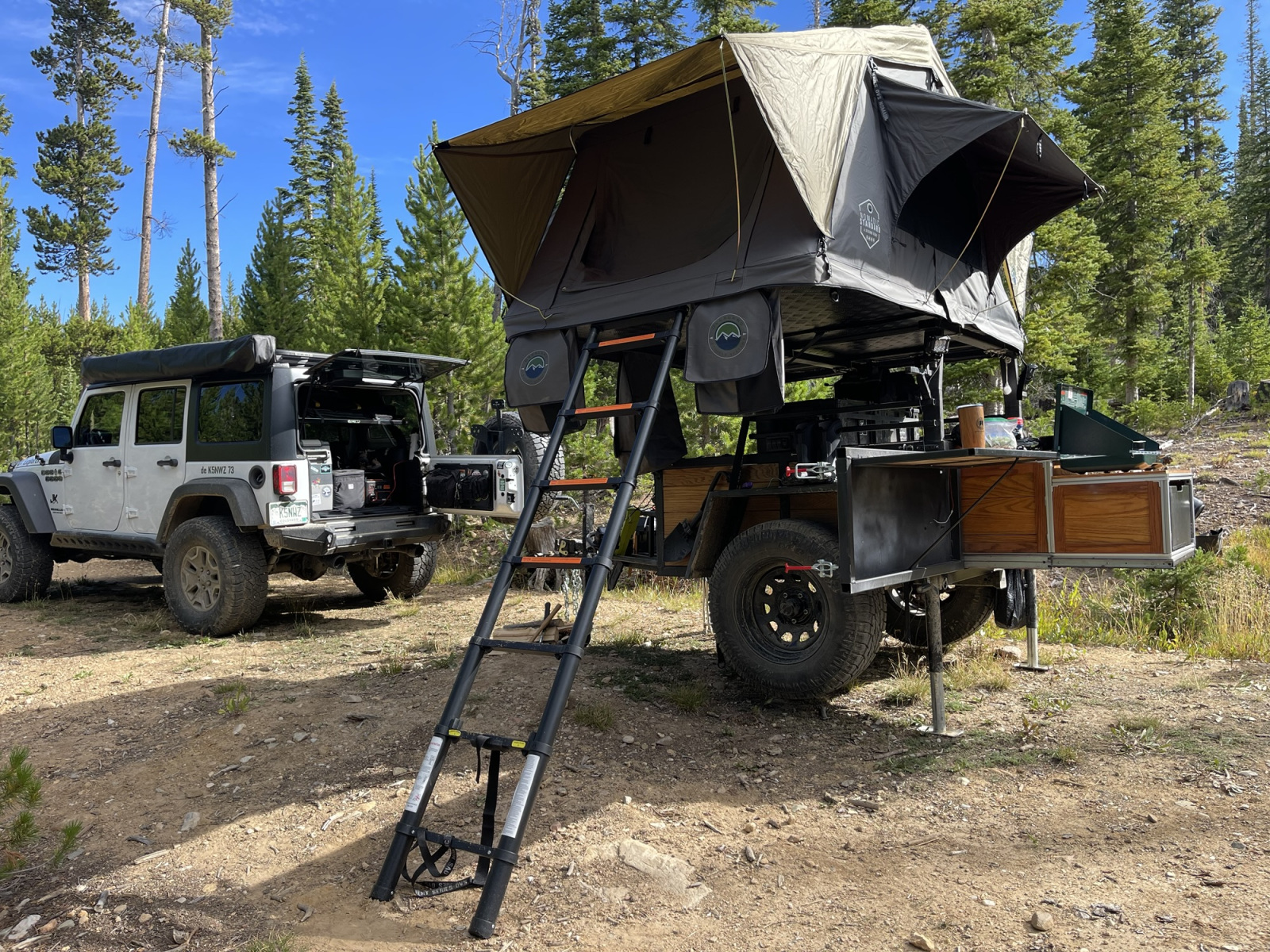
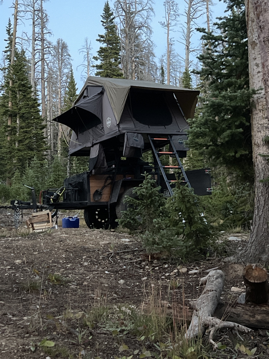
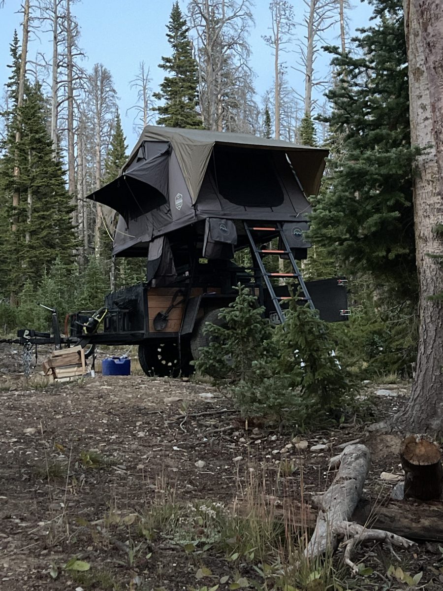

Radio and trail photos


Trail videos
Every trip is a systems test
Remote operation connects antennas, radios, power, navigation, vehicle preparation and outdoor judgment. A successful outing is not just the contact in the log—it is getting there safely, learning what worked and bringing better ideas home.
Explore the MeshCore and Meshtastic guide, meet the Mini DX Explorer, or ask me about the Jeep or a field setup.